
National
BREAKING NEWS
Mangrove loss raises flood, erosion risks along Karachi coast
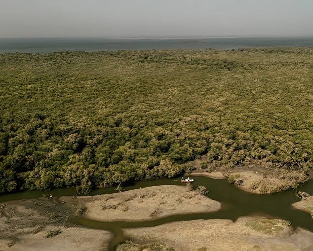
ISLAMABAD: New satellite images from 2000 and 2025 released by the country’s space agency show a fundamental shift in land cover along Karachi’s coastal zone near the Mai Kolachi Bypass, where mangrove stands and natural tidal creeks have increasingly given way to reclaimed land and urban development.
In a note on the development, the Space and Upper Atmosphere Research Commission (Suparco) said areas once characterised by continuous mangrove cover and natural tidal creeks had progressively been converted into reclaimed land and urban plots.
“This transformation reflects a transition from ecosystem-based coastal protection to hard, land-intensive development. Mangrove removal directly weakens the coastal system’s ability to respond to climate stress,” the agency said.
Suparco observed that mangroves played a key role in regulating coastal temperatures, trapping sediments and absorbing atmospheric carbon. Their clearance not only eliminated an important blue-carbon reservoir but also disrupted hydrological connectivity, increasing surface runoff and altering tidal flows, it said.
“Over time, this raises the likelihood of localised flooding, shoreline instability and long-term land subsidence. From a climate perspective, the conversion of mangrove wetlands into built-up land represents a loss of natural resilience at a time when sea-level rise and extreme weather events are accelerating,” it said.
Unlike engineered structures, mangroves adapt and regenerate, offering protection that strengthens over time. Their replacement with static infrastructure transfers climate risk directly to urban assets and populations, the agency observed.
Related News


 National
 National

Comments (0)
Leave a Comment